🌳 Tracking Tree Species on OpenStreetMap
Welcome! This site presents a series of historical diagrams that trace the evolution of tree species mapping on OpenStreetMap. Our focus is on France and some of its subregions, with data updated automatically every day.
📊 Diagram Overview
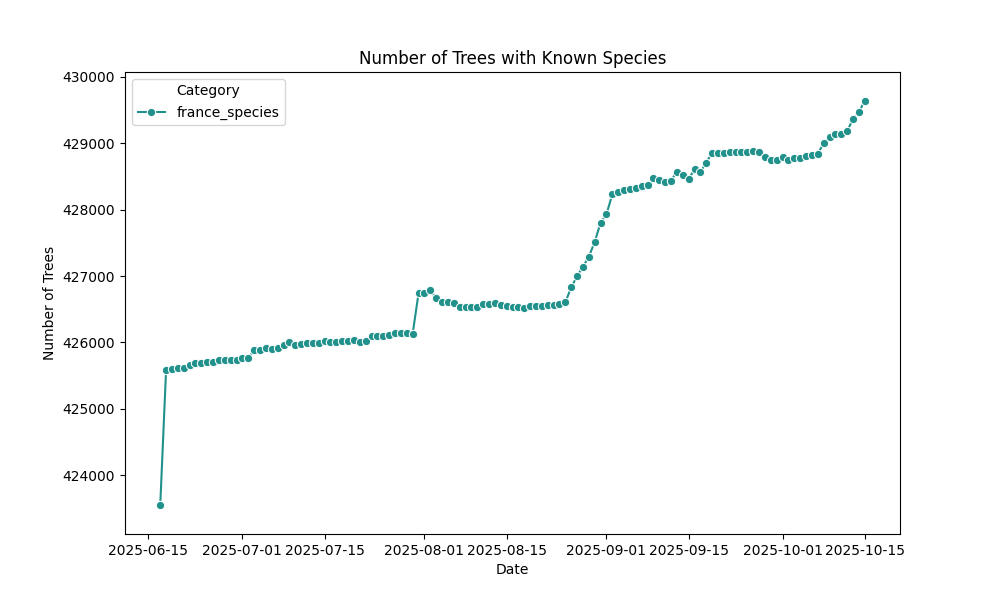
- France: The top diagram shows the growing number of trees with identified species across the country.
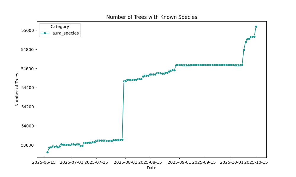
- Auvergne-Rhône-Alpes: Regional trends in species tagging.
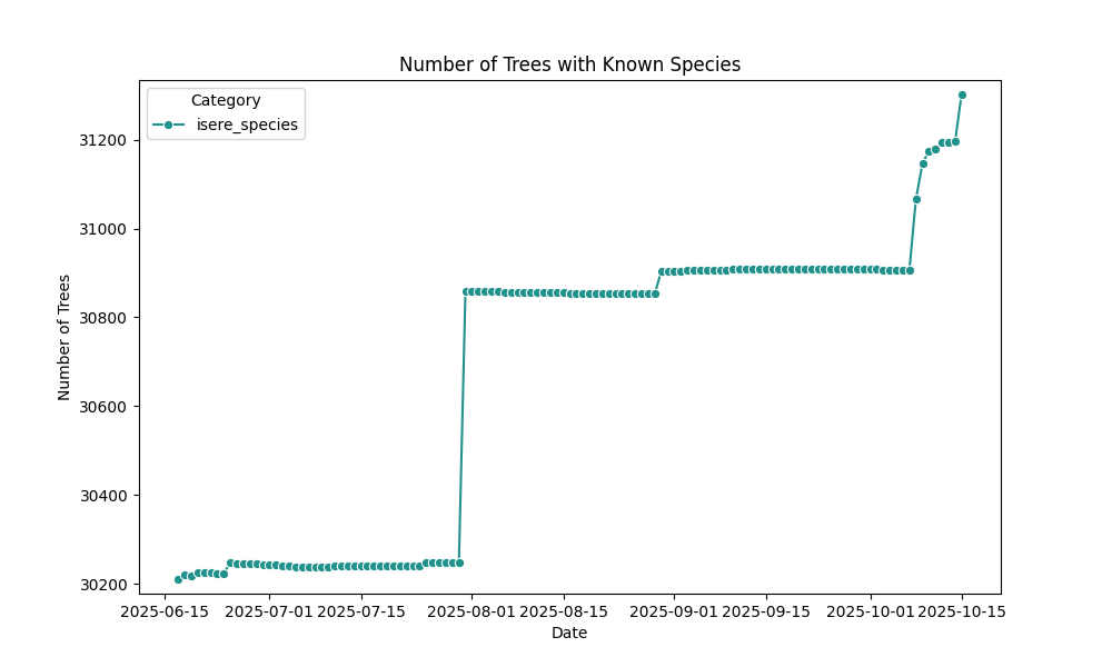
- Isère: Department-level insights.
- Grenoble: Urban mapping dynamics.
- And more…
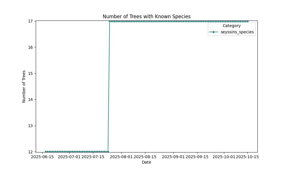
Each diagram reflects the cumulative growth of species-tagged trees, helping visualize ecological awareness and mapping precision over time.
France
Auvergne-Rhône-Alpes
Overpass queries: with species / without species
Isère
Overpass queries: with species / without species
Grenoble-Alpes-Métropole
Overpass queries: with species / without species

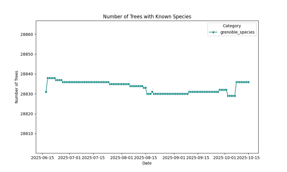
Grenoble
Overpass queries: with species / without species
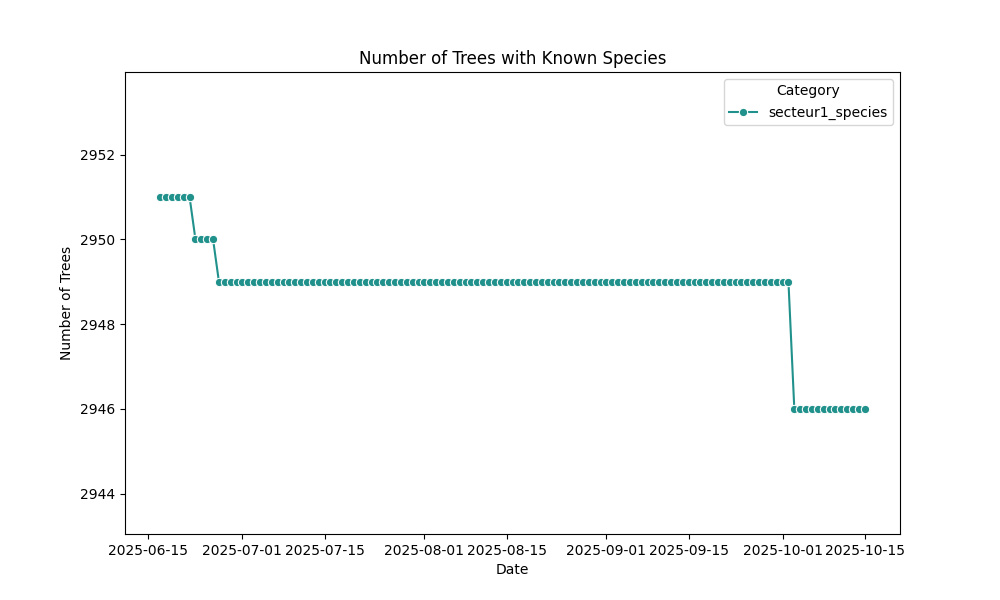
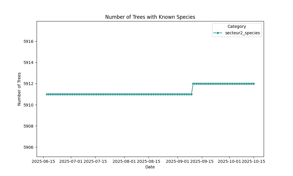
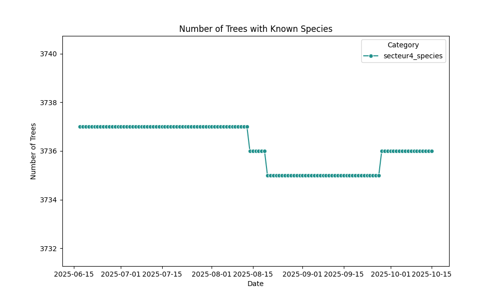
Districts
District 1
Overpass queries: with species / without species
District 2
Overpass queries: with species / without species
District 3
Overpass queries: with species / without species

District 4
Overpass queries: with species / without species
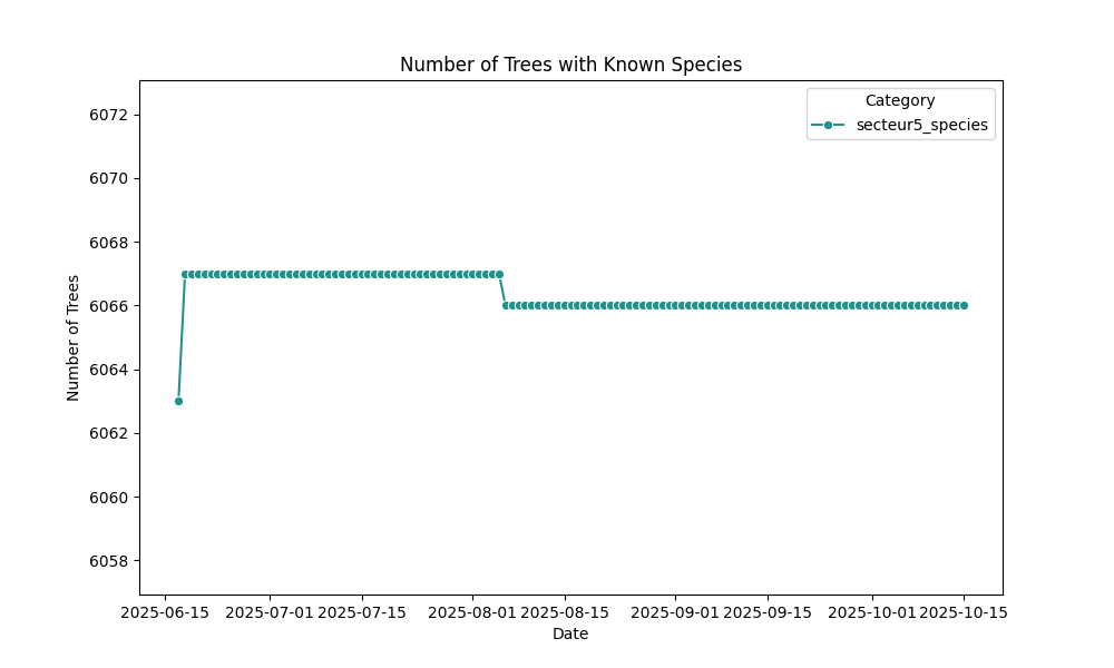
District 5
Overpass queries: with species / without species
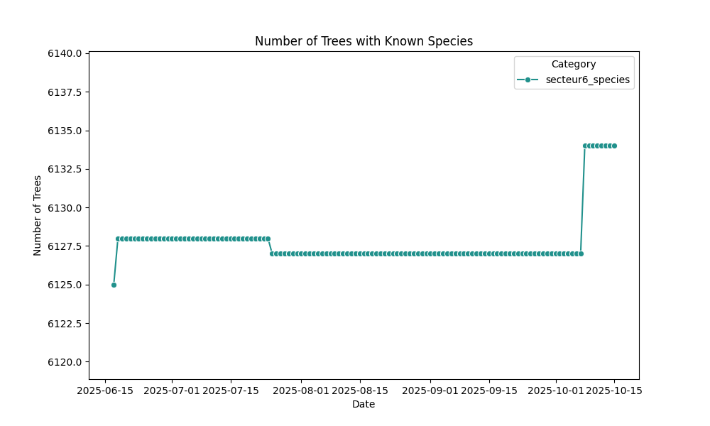
District 6
Overpass queries: with species / without species
Neighborhoods
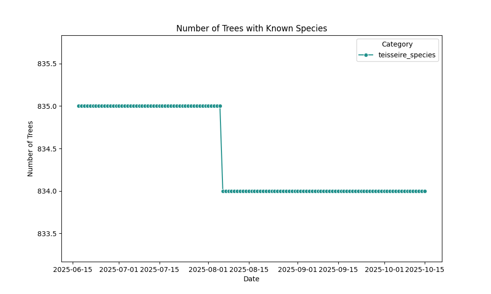
Teisseire
Overpass queries: with species / without species
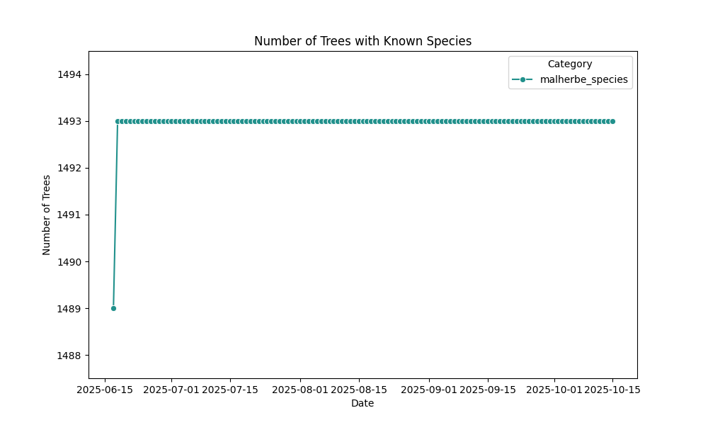
Malherbe
Overpass queries: with species / without species
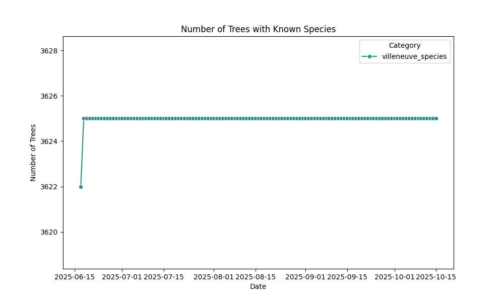
Villeneuve
Overpass queries: with species / without species
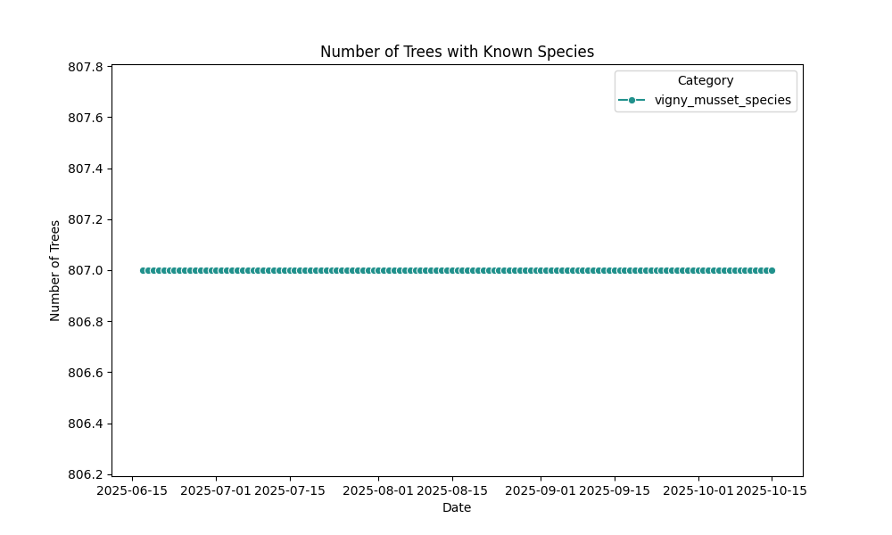
Vigny-Musset
Overpass queries: with species / without species
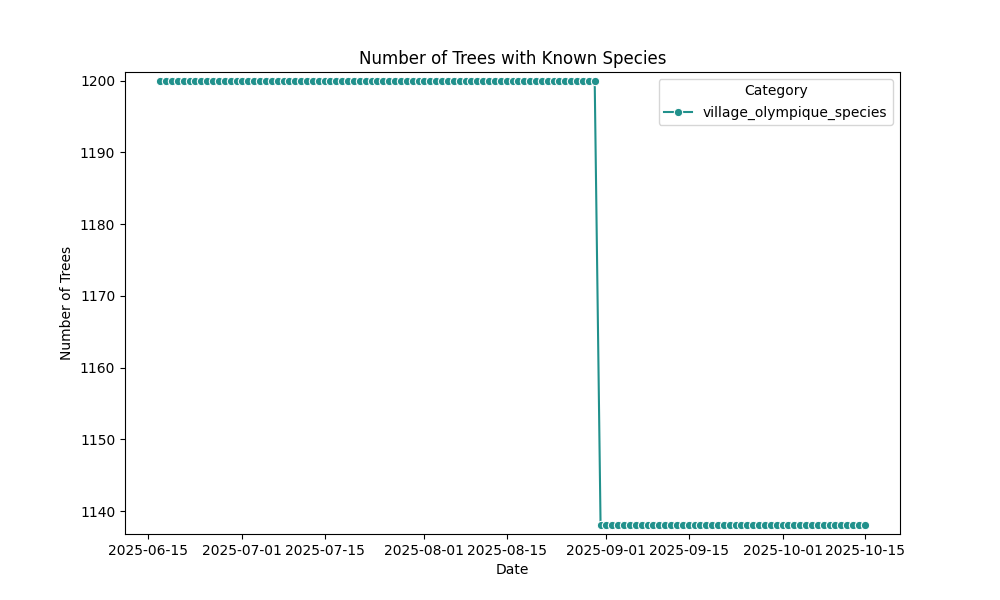
Village Olympique
Overpass queries: with species / without species
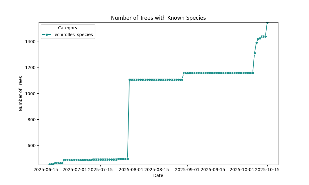
Échirolles
Overpass queries: with species / without species
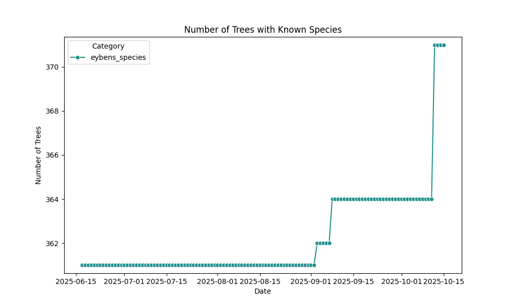
Eybens
Overpass queries: with species / without species
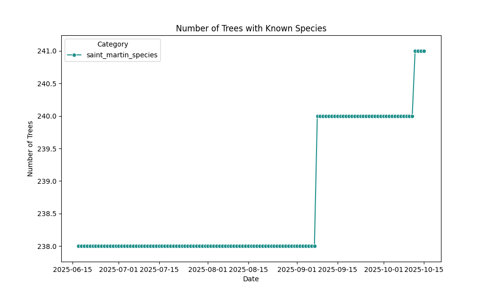
Saint-Martin-d’Hères
Overpass queries: with species / without species
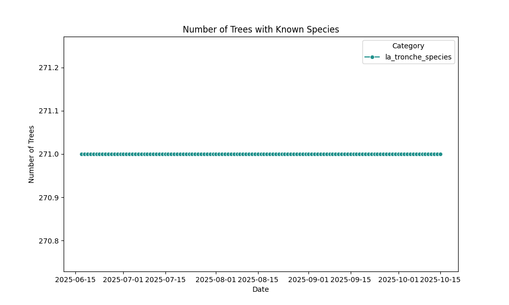
La Tronche
Overpass queries: with species / without species
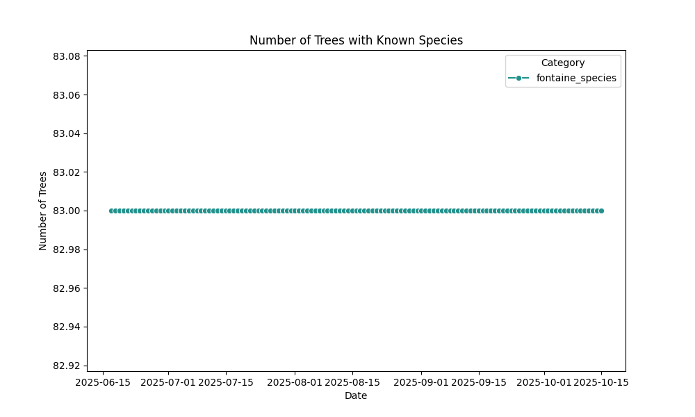
Fontaine
Overpass queries: with species / without species
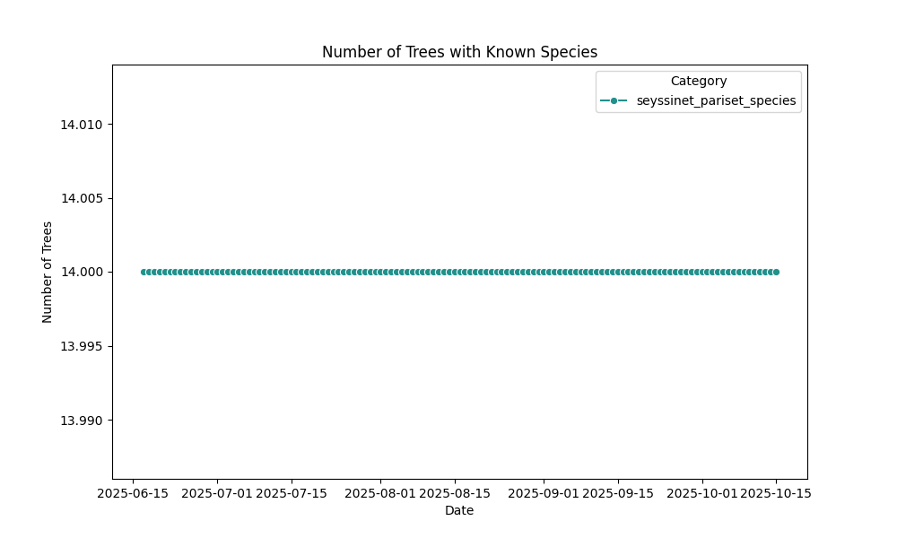
Seyssinet-Pariset
Overpass queries: with species / without species
Seyssins
Overpass queries: with species / without species